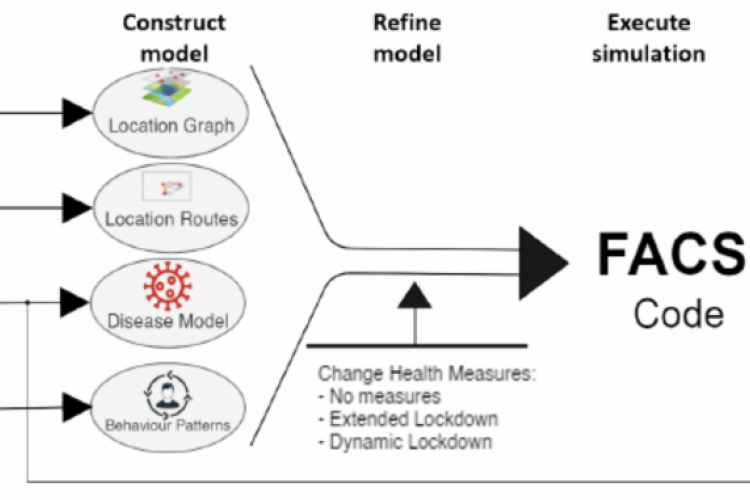
The recent Covid-19 outbreak has had a tremendous impact on the world, and many countries are struggling to help incoming patients and at the same time, rapidly enact new public health measures such as lock downs. Many of these decisions are guided by the outcomes of so-called Susceptible Exposed-Infectious-Recovered (SEIR) models that operate on a national level. We introduce the Flu And Corona virus Simulator (FACS)1, a simulation tool that models the viral spread at the sub-national level, incorporating geospatial data sources to extract buildings and residential areas within a predefined region.
Using FACS, we can model Covid-19 spread at the local level, and provide estimates of the spread of infections and hospital arrivals for different scenarios. We validate the simulation results with the ICU admissions numbers obtained from the local hospitals in the UK. Such validated models can be used to support local decision-making for an effective health and social care capability response to the epidemic.

